Things to do
Phú Cường Waterfall and other falls near Pleiku
How to reach Phú Cường Waterfall from Pleiku, 44 km southeast, when it has the most water, how to reach the base safely, and three falls to the west.
By the Xin chào Pleiku editorsRechecked
On this page
Phú Cường Waterfall (Thác Phú Cường) lies in the opposite direction from most places you will visit around Pleiku, so give it a half day of its own. Below: how to get there, when the water is best, where the rocks are slippery, and the other falls to the west.
Which waterfall, which direction
Check which side of town each fall is on before you choose; the wrong direction costs you a whole morning.
| Waterfall | Direction and distance from central Pleiku |
|---|---|
| Phú Cường | about 44 km southeast |
| Nine-Tier (Chín Tầng) | Ia Sao commune, in the former Ia Grai district |
| Lệ Kim | 35 km west |
| Princess (Công Chúa) | 50 km northwest |
| Chư Đăng Ya volcano, for comparison | about 30 km northeast |
Getting to Phú Cường from Pleiku
The fall is about 44 km southeast of central Pleiku, in Chư Sê commune, so allow half a day for the round trip. By Grab or taxi, give the driver the map code M46P+MC. If you drive, the route is two legs:
- From central Pleiku, drive past Hàm Rồng mountain and along Highway 14 to the centre of the former Chư Sê district, then turn left onto Highway 25.
- Stay on Highway 25 for about 5 km to the sign for the waterfall; watch for signs as you get close.
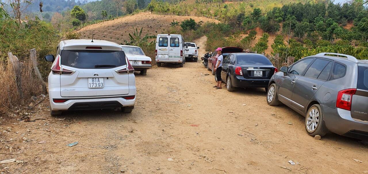
At the entrance, turn right from the tourist-area gate for the road to the falls; on the left a suspension bridge crosses the La Peet stream. The stretch from the gate down to the falls is damaged in many spots, so drive slowly. Bring your own breakfast from Pleiku (our list of breakfast in Pleiku helps) plus water and snacks for the whole outing, and carry your rubbish out.
Why this waterfall is worth the trip
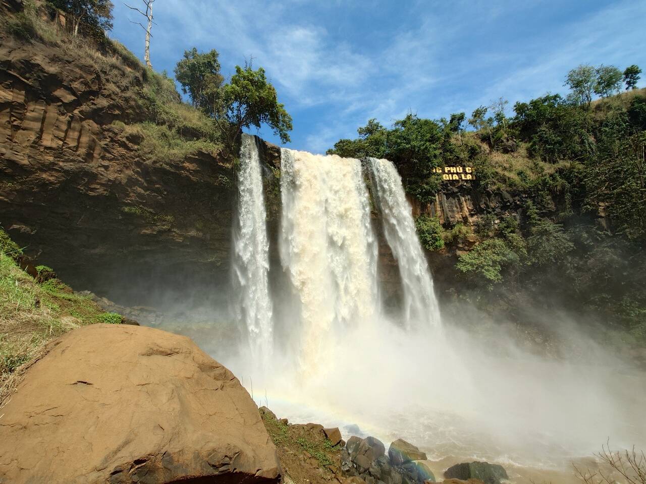
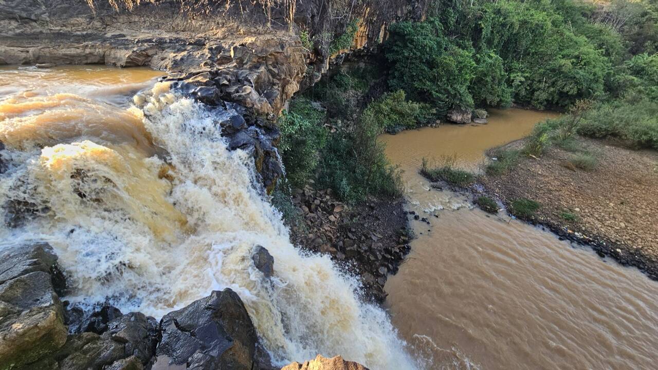
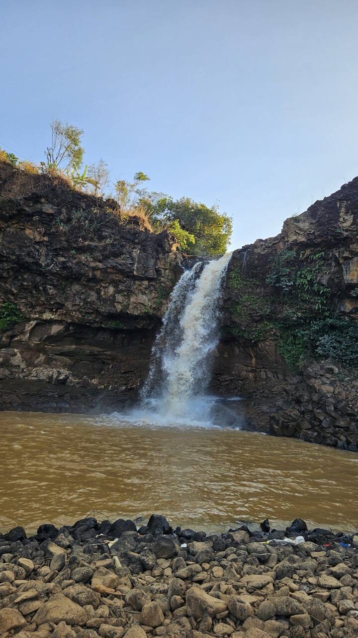
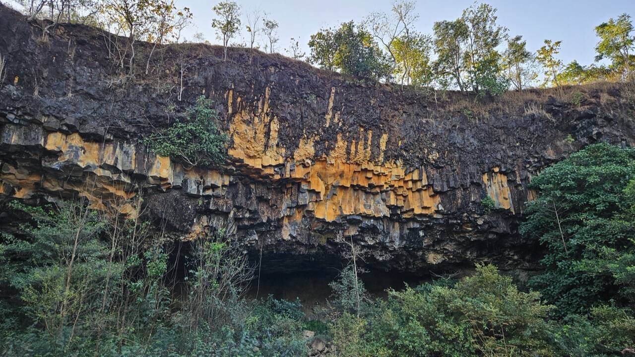
Phú Cường drops about 45 m on the Ia Pết river, in open, fresh-air surroundings. It pours over the lava rock of an extinct volcano, in a quarry area of the same name, and the water runs into the La Peet stream and on to the Ayun river, home of the well-known Ayun Hạ lake.
It nearly vanished: a plan to remove the fall for a hydropower project was dropped, which is why you can still see it flowing whole.
When Phú Cường has the most water
We recommend a day just after heavy rain if you want the fall at its best: more rain makes it more impressive, and in early January it still had plenty of water. The trade-off is slippery rock at the foot in the rainy season, so check the forecast.
In the dry season do not expect a roaring fall: at times it runs dry and bare rock shows, and some old trees on the bank look tired. Coffee, pepper and terraced fields now cover the land above the fall where forest once stood, so the water supply is not what it used to be.
The fall opens daily from 8 am to 5 pm, so arrive early enough to get down to the base and climb back up.
Getting down to the foot of the falls safely
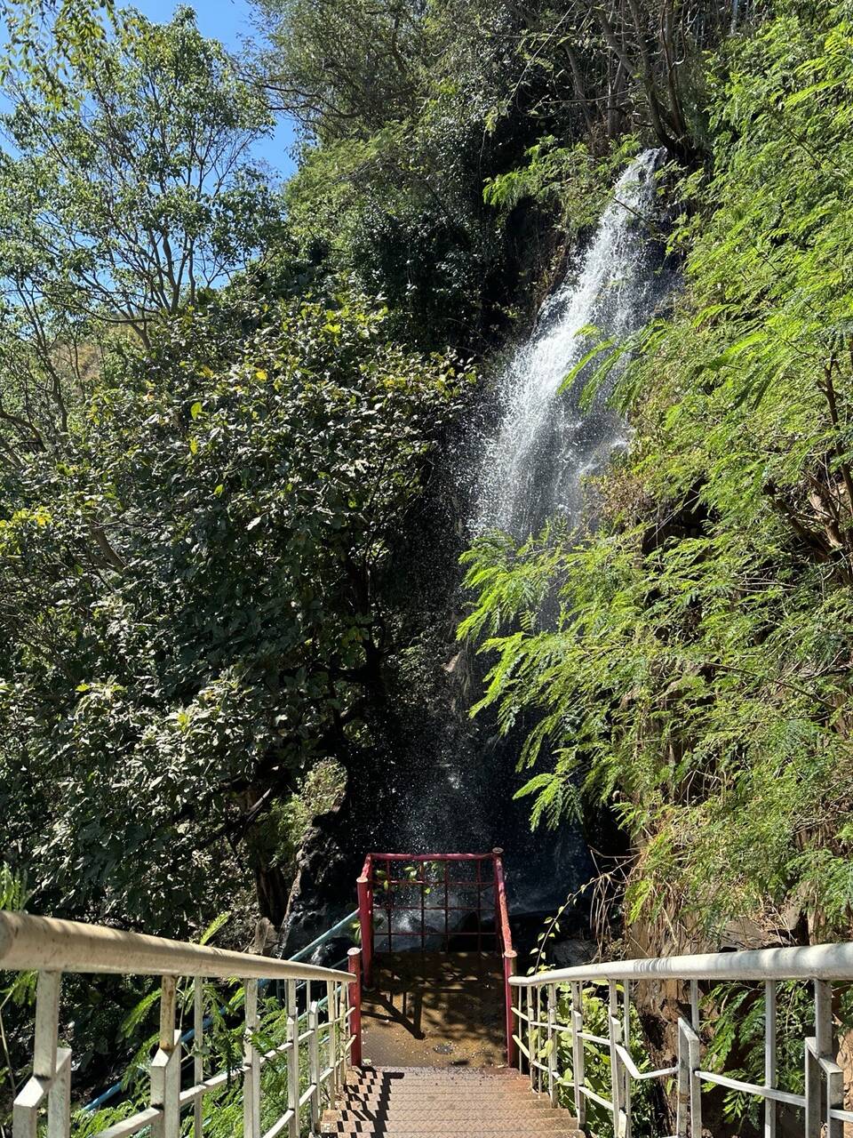
Past the gate, a small bridge on the left gives you a view of the water at the top of the fall. To reach the base you walk a further steep stretch. An iron staircase with handrails takes you down, and the steps are much better than before, but there are more than 100 of them, so the climb back is the tiring part. At the bottom the black boulders are slippery, and the spray makes the path right under the fall slippery too, so take it one step at a time.
With older people or small children, take extra care, because the way up to the fall is rough with jagged rock. Wear shoes with good grip. If you want to get in the water, stay in the shallows when the flow is gentle. Streams in Gia Lai rise very fast in heavy rain, so stay out while it rains or just after a downpour.
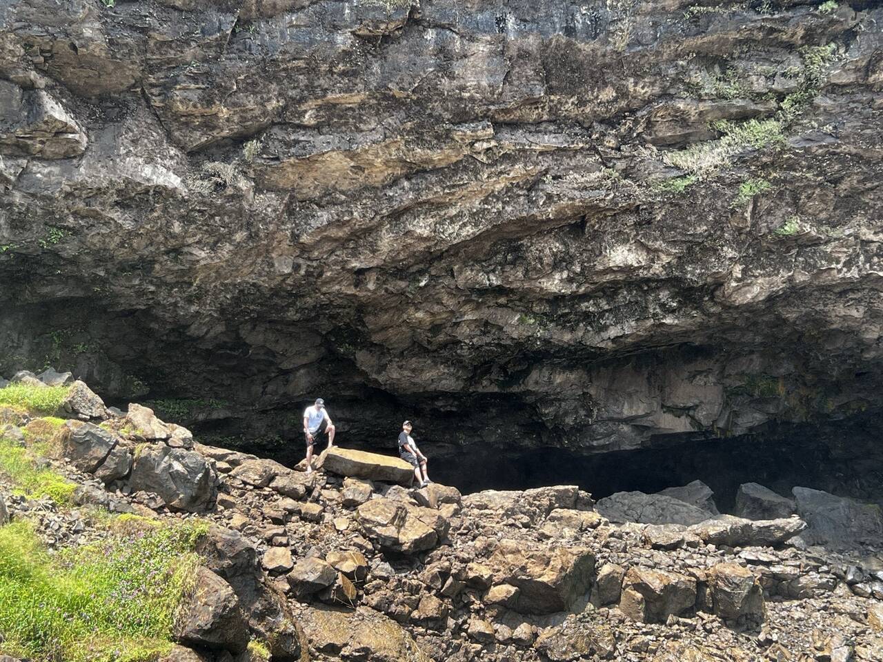
Tip: put your phone and camera in a sealed bag before you go near the base, because a short time there soaks everything.
Other waterfalls around Pleiku
For a second fall, look west and northwest; Phú Cường is well to the southeast.
Nine-Tier Waterfall (Thác Chín Tầng)
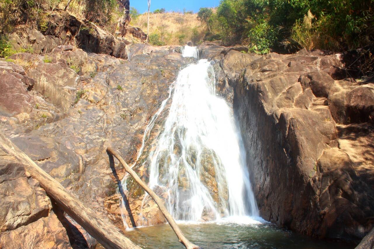
If you like scrambling over rocks, try Nine-Tier Waterfall in Ia Sao commune, in the former Ia Grai district.
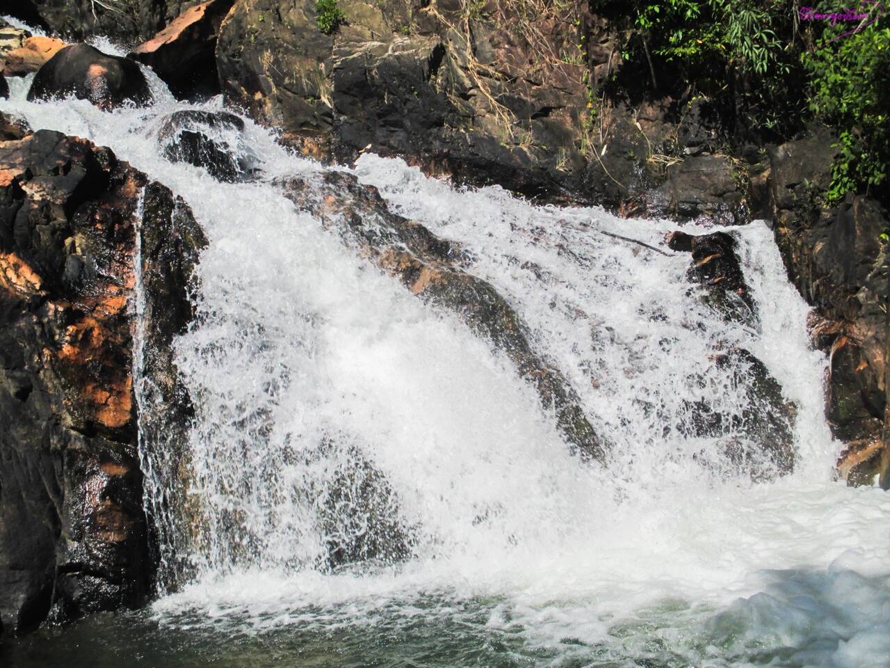
The water drops in nine tiers and flows strongly, so wear non-slip shoes and light clothes for the climb over the rock steps. Pleiku locals, especially young people, often picnic here, so bring your own water and food.
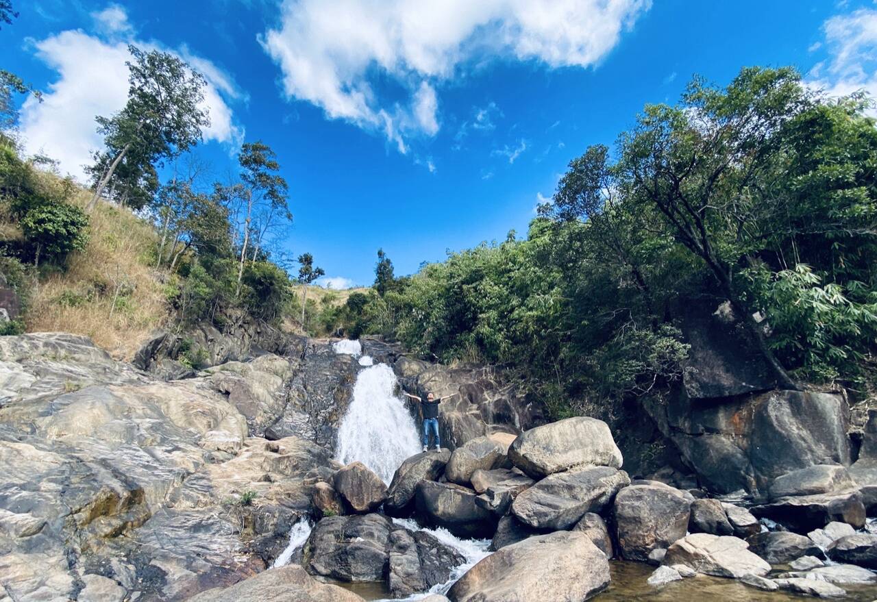
Princess Waterfall (Thác Công Chúa)
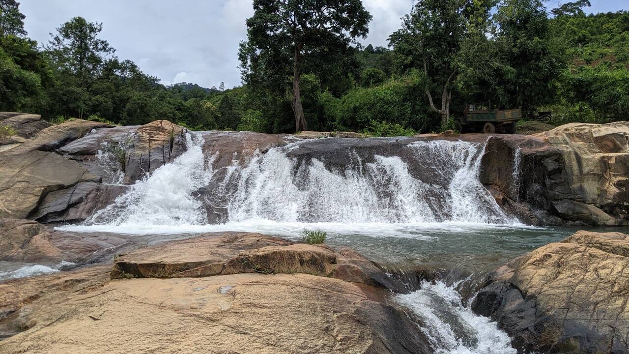
Princess Waterfall is for gentle water, low rocks and few people. It is at Ia Ly, 50 km northwest of Pleiku, not tall but with lovely terrain. The water crosses several low rock steps, easy to climb, and flows calmly.
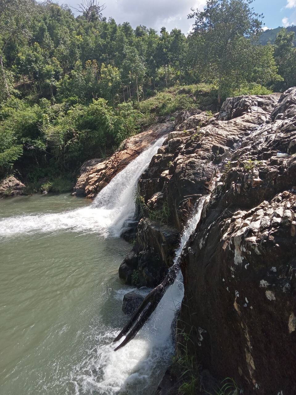
The road in is simple and pretty. The fall hides under the forest canopy and runs softly beside a steep slope, so it is easy to miss. The closer you get, the narrower and emptier the road becomes, so save the location on your map before you go.
Lệ Kim Waterfall (Thác Lệ Kim)
Lệ Kim Waterfall is in Ia Krái commune, 35 km west of Pleiku, right on provincial road 664 from Ia Grai to Đức Cơ. It is open all day, and standing below you see the spray drift like mist.
Fitting a waterfall into your plan
Phú Cường is a day of its own in the southeast; Chư Đăng Ya volcano is on the opposite side, about 30 km northeast, so do not combine the two. Nine-Tier and Lệ Kim both sit in the former Ia Grai district, so those two fit into one morning in the west.
For transport, see motorbike rental in Pleiku for prices and papers if you ride yourself, or taxis and ride-hailing in Pleiku if you prefer not to drive. On a waterfall day, drop one stop from your Pleiku itinerary; the Chư Đăng Ya volcano page and the other sights are in Things to do.
Questions
How far is Phú Cường Waterfall from Pleiku?
About 44 km southeast. From Pleiku you pass Hàm Rồng mountain, follow Highway 14 to the centre of the former Chư Sê district, turn left onto Highway 25, and after about 5 km you reach the sign for the waterfall.
What time does Phú Cường Waterfall open?
Daily from 8 am to 5 pm.
When is the best time to visit Phú Cường?
After heavy rain, when the fall is more impressive; in early January it still had plenty of water. In the dry season it can run dry and leave bare rock. The rocks at the base are very slippery in the rainy season.
Can I do Phú Cường and Chư Đăng Ya volcano in one day?
Better not. Phú Cường is about 44 km southeast and Chư Đăng Ya volcano about 30 km northeast, on opposite sides of the city. Give each its own day.
Sources
(13)
- Thác Phú Cường - Wikipedia tiếng Việt
- Phú Cường Waterfall (dữ liệu địa điểm Google Maps, đọc 25/10/2026)
- Hệ thống thác nước khác...
- Thác Phú Cường giờ không còn... cường nữa
- Giới thiệu điểm văn hóa, du lịch trên địa bàn xã Biển Hồ
- Thác Phú Cường Chư Sê Gia Lai (video, đăng 09/05/2026)
- Tham Quan Thác Phú Cường (Gia Lai) (video, đăng 30/06/2026)
- NGÀY 9.1.2026. THÁC PHÚ CƯỜNG GIA LAI (video, đăng 09/01/2026)
- Liên tiếp xảy ra đuối nước do mưa, lũ tại Gia Lai
- Thác Công Chúa (dữ liệu địa điểm Google Maps, đọc 25/10/2026)
- Khơi dậy lợi thế cho du lịch Tây Nguyên
- Thác Lệ Kim (dữ liệu địa điểm Google Maps, đọc 25/10/2026)
- Thác Phú Cường, the silk ribbon of the Gia Lai forest (Nhan Dan newspaper)
Photos
(10)
Duy Lâm · Tuấn Vũ Nguyễn · Bigboy Quân · Thành Phạm · Mister FluteSax · Sỹ Quân Trương · Hữu Liêm Nguyễn · Tuân Vũ Văn · Trần Anh Điệp · PH TV
Spotted an error? Send a correction · How we choose sources