Things to do
Hàm Rồng mountain: route, cloud hours, how far up
Hàm Rồng is 11 to 15 km south of central Pleiku. See how to get there, the best hours for cloud views, sunflower season and what to know about wind and wet roads.
By Vương Nguyễn and teamRechecked
Published · 8 sources ↓
On this page
- Where is Hàm Rồng, and how far from central Pleiku
- Getting from Pleiku up Hàm Rồng: which road
- How far up can you go: is the station open
- What time and which month looks best
- Wind, lightning and slippery roads: when to skip the trip
- What kind of mountain is Hàm Rồng, and why is it the “yang” volcano
- Pairing Hàm Rồng with another stop for half a day
Hàm Rồng is the mountain you see as you leave town heading south, and it is the easiest way to look down on Pleiku without giving up a whole day. One thing shapes your plan: the summit is not a sightseeing spot, because the province’s broadcast station sits there. So work out where you can stand, when to go and what the road is like before you set an alarm. Other places around town are in things to do around Pleiku.
Where is Hàm Rồng, and how far from central Pleiku
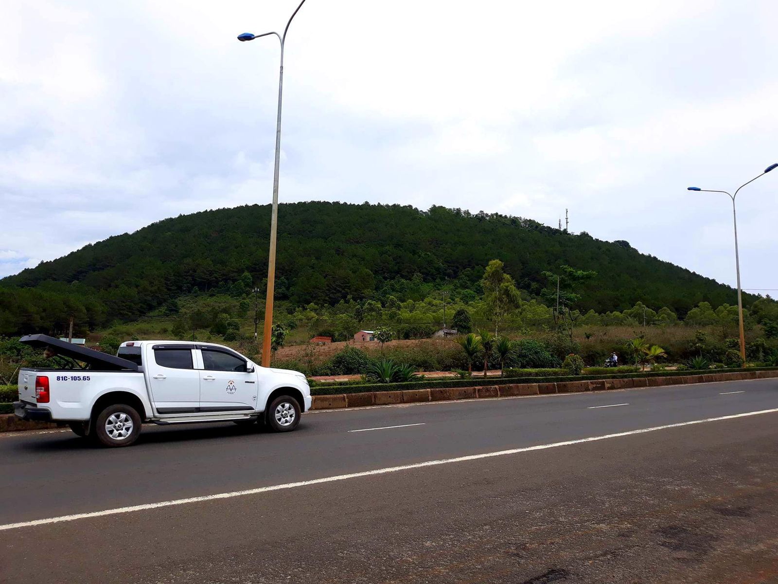
The mountain stands south of the city, right beside the Hàm Rồng junction where National Highway 14 meets National Highway 19. When you ask for directions, say “ngã ba Hàm Rồng” (Hàm Rồng junction): locals and travel writers all use it as the landmark, while the administrative name changes from source to source. After the merger the mountain falls in Hội Phú ward, formerly Chư H’Drông commune, so on older signs and in old articles you will still see Chư Hdrông commune.
From the centre to the foot of the mountain is about 11 to 12 km, and nearly 15 km if you count all the way up to the station on the summit. We recommend timing your trip by the longer figure, because the steep last stretch is slower than city streets. Other names you may meet are Chư Hơ Đông and Hòn Rồng.
Getting from Pleiku up Hàm Rồng: which road
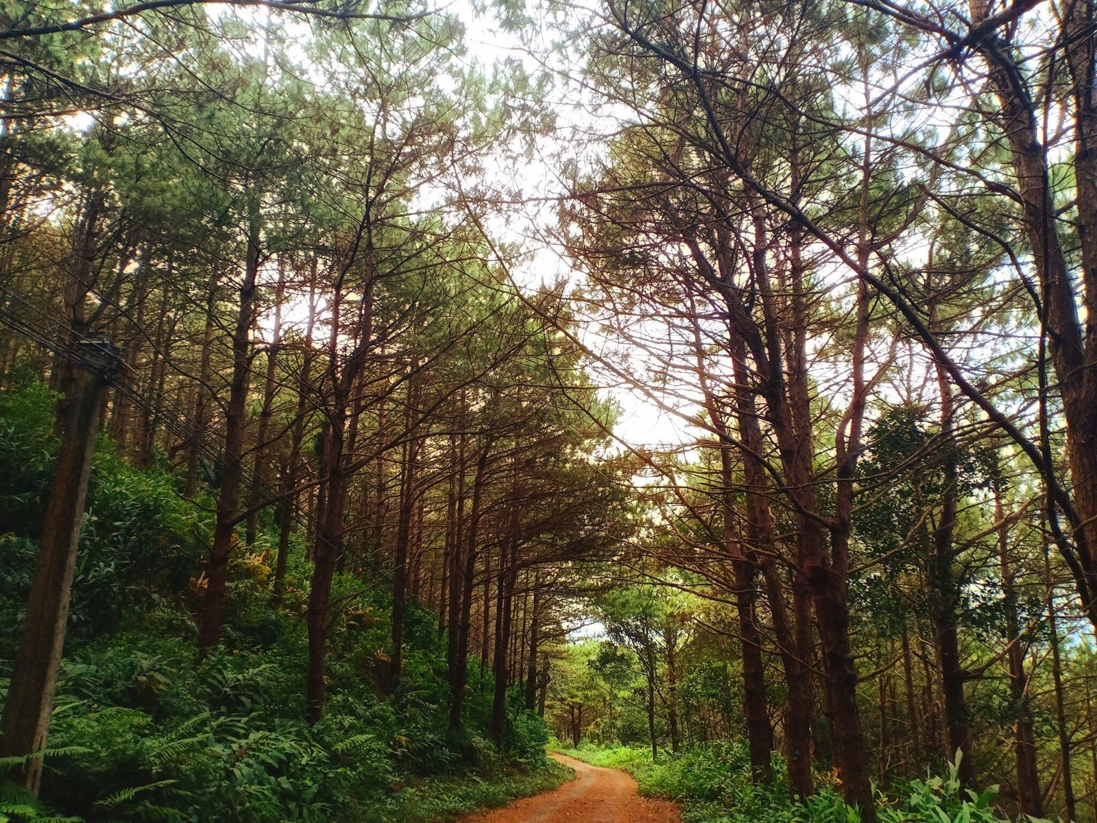
The easy way is to follow Nguyễn Tất Thành street, which is National Highway 14, south for about 10 km to the Hàm Rồng junction. From there turn onto the small paved road that winds around the slope, and it is another 1.5 to 2 km to the summit area. The fern patch, the usual photo stop on the way up, is much closer: only about 200 m from the junction.
In time, that is about 15 minutes by motorbike, then 5 more under the deep green pines to the top. The route is easy, so a motorbike or a car both work. The little concrete road up is lined with trees and ferns, and the last section is a zigzag slope through endless pine.
Do not underestimate the final stretch just because it is short. It is fairly narrow with a few steep bends, so use a low gear, brake gently and give way to anything coming down at a corner. If you have no vehicle yet, see how to rent a motorbike in Pleiku, or taxis and ride-hailing in Pleiku if you would rather have a driver.
How far up can you go: is the station open
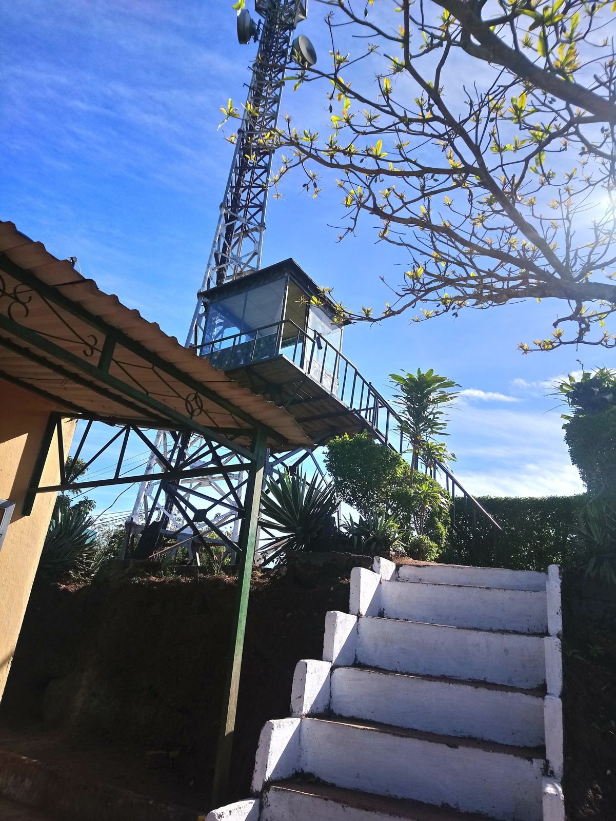
The summit holds the broadcast station of the provincial radio and television, which is exactly why climbing to the top is restricted. Visitors may photograph only from the mid-slope: the station is a restricted area and you must not approach without permission. It was moved to the top in 2006, so when blogs say “up to the summit” they mean the area around the station, not an open attraction.
In practice, stop at the fern patch and the wider spots by the road where a bike can pull in, and shoot from there. You lose nothing: even from halfway you can see the whole of Pleiku and the wide fields around it.
No entrance fee or opening hours are given here because no operator has published any; travel sites only describe a wild area without professional tourist services. That changes how you prepare: bring your own water and food, and follow the forest rangers’ rules, which means no breaking branches or cutting trees.
What time and which month looks best
For clouds, go between September and November and arrive early, between 5 and 7 am. In the early morning the cloud rolls through the valley, and from the top you take in a sea of cloud with green hills and fields far away. Even on a day without a cloud sea, early morning is when the forested mountain looks best in the mist.
To guess which morning will have clouds, look at the weather for the days before: after about 2 to 3 sunny days, a rainy evening makes the next morning likely to be cloudy. That is cloud-hunters’ experience, not a promise, and some days the summit stays wrapped in cloud all morning. Check Pleiku weather by season before you pick a date.
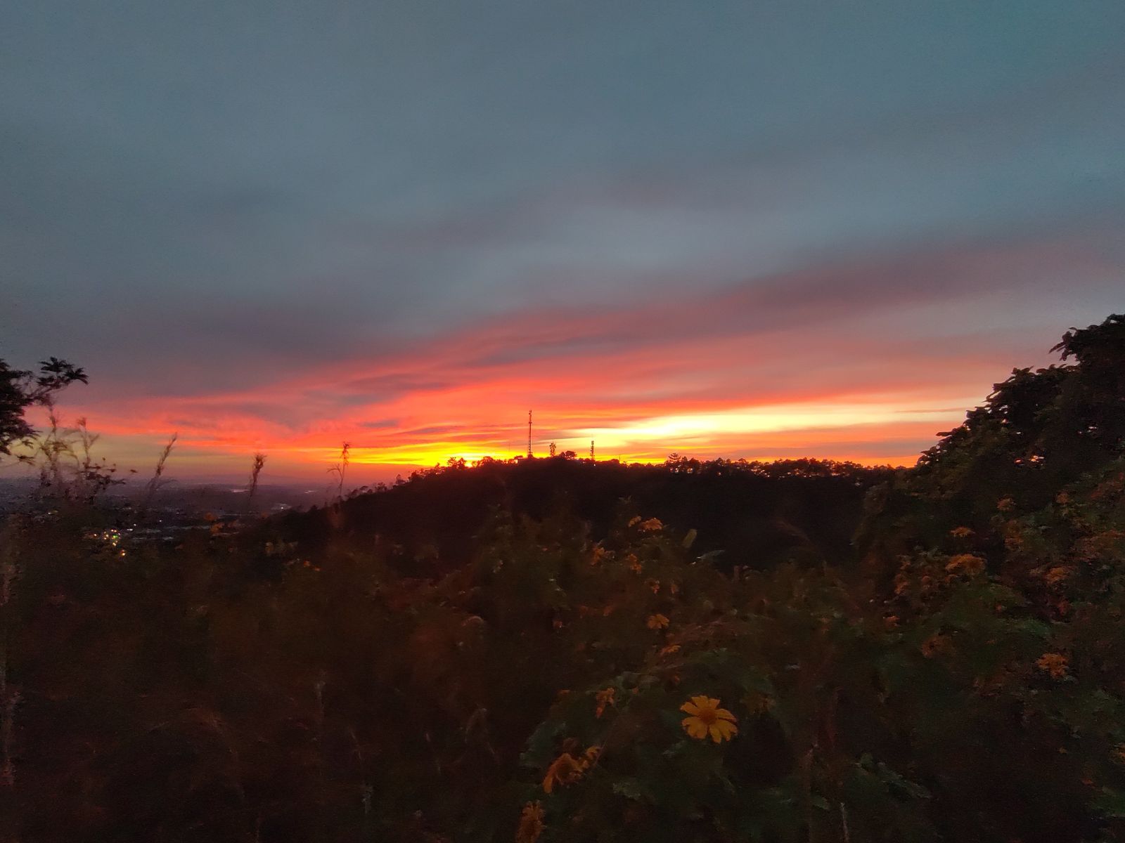
October and November also bring wild sunflowers that turn the roads and slopes yellow. Some years there are even off-season clumps glowing yellow among the green forest beside the road up. If you go for the flowers, you can pair this with the wild sunflower season in Pleiku; in the afternoon the last light turns the whole sky red, but plan your descent before dark because the road is narrow and full of bends.
Day and night temperatures differ by 10 to 15 degrees C, and it is windy and cooler than usual at the top, so a light jacket keeps you warm in the morning.
Wind, lightning and slippery roads: when to skip the trip
The rainy season is when you should think twice, because the road up gets slippery and hard to ride. Many stretches are prone to slipping, so do not go up while it is raining. For a safer trip, choose the dry months, about October to December, when the weather is dry and getting around is safer.
The people who work at the station on top fear lightning most, and the wind blows hard there too. So look at the sky before you leave. If dark clouds roll in or thunder starts, head down early instead of waiting for a few more photos.
Beyond slippery roads, bring insect repellent and any medical supplies you need. The area has no professional tourist services, so you look after yourself.
What kind of mountain is Hàm Rồng, and why is it the “yang” volcano
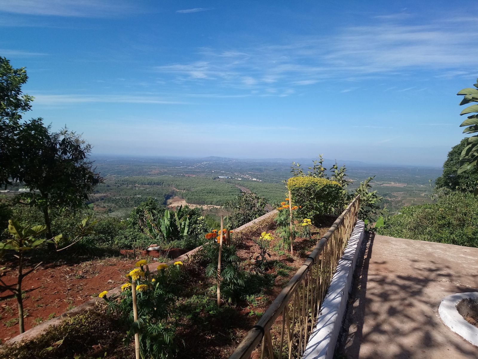
Hàm Rồng is a volcanic peak 1,028 m high, measured from sea level. It belongs to the Pleiku basalt plateau and was formed in the late volcanic phase, between less than 4 million and 0.3 million years ago. It went quiet long ago but kept its distinctive shape, like the roof of a giant rông communal house.
It is called the “yang” volcano because Hàm Rồng rises on the south side of the city, while Biển Hồ Lake (T’nưng) is the “yin” crater, a lake that stores drinking water for the whole city. This yin-yang pair of volcanoes is a famous Pleiku landscape. If you have already visited Biển Hồ T’nưng, Hàm Rồng lets you see the other half of that pair.
Look closely and you will see a large groove cutting the slope, the trace of an old lava flow, with volcanic bombs and glass blocks along it. The vegetation is green all year. The summit also has a chapter of history: in 1969 it was chosen as the high point for a signal station of a US military base, and the mountain was sprayed with defoliant by US forces. Today the station covers a radius of 80 to 100 km thanks to its height, which is why people call this the “roof” of the highland town of Pleiku.
Pairing Hàm Rồng with another stop for half a day
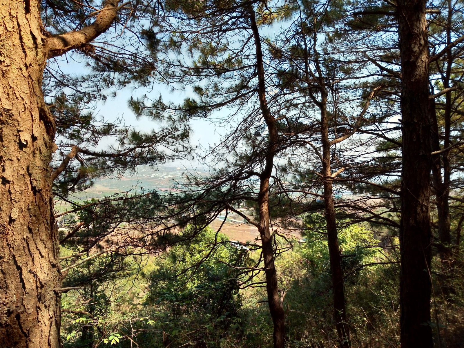
Hàm Rồng suits early morning best, so put it first and come back to town for breakfast. It is close, so you can add another stop instead of starting again from scratch. The weekend near Pleiku page ranks the places near town by distance. For something farther, the direction is completely different: Chư Đăng Ya volcano is about 30 km north-east of Pleiku, and has its own page, Chư Đăng Ya volcano. The two mountains lie in opposite directions, so do not try to do both in one morning.
In town, Minh Thành Pagoda is an easy add-on for the afternoon, and if you have not booked a room yet, see where to stay in Pleiku.
What you bring decides whether the outing goes smoothly. Pack a jacket, water, a snack and shoes with good grip, because the area is wild and you need your own food and drink. Remember insect repellent, and leave no rubbish, break no branches and cut no trees.
Questions
How far is Hàm Rồng from central Pleiku?
The figures differ: about 11 km, about 12 km and nearly 15 km if you count the broadcast station on the summit. Plan for 11 to 15 km, heading south on Nguyễn Tất Thành street (National Highway 14).
How long does it take to get to Hàm Rồng?
About 15 minutes by motorbike, then 5 more on the winding road under the pines to the top. The road is wide enough for motorbikes and cars, but the last stretch is narrow with some steep bends.
What time should I go for the clouds at Hàm Rồng?
Roughly 5 to 7 am is when the clouds look best, and the cloud season runs from September to November. After 2 to 3 sunny days followed by a rainy evening, the next morning is often full of cloud.
Is Hàm Rồng a volcano?
Yes. Hàm Rồng is the "yang" volcanic peak south of the city, shaped like a giant rông communal house roof. It went quiet long ago but kept its shape, and together with Biển Hồ Lake it forms a yin-yang pair of volcanoes.
Can you climb to the very top of Hàm Rồng?
No, you should not. The broadcast station on the summit is a restricted area; visitors may photograph only from the mid-slope and must not approach without permission. Climbing to the top is limited because it is the province's telecom station.
Read next
Sources
(8)
- Núi Chư H'Drông (Chư H'Drông mountain)
- "Canh sóng" trên đỉnh Hàm Rồng (Keeping watch on the Hàm Rồng summit)
- Mùa săn mây (Cloud-hunting season)
- Những miệng núi lửa thu hút khách du lịch ở Gia Lai (Volcano craters that draw visitors in Gia Lai)
- Khám phá núi lửa Gia Lai (Exploring the volcanoes of Gia Lai)
- Khám phá núi Hàm Rồng - nóc nhà của Gia Lai (Hàm Rồng, the roof of Gia Lai)
- Núi Hàm Rồng Gia Lai: kinh nghiệm trekking và ngắm toàn cảnh Pleiku (Trekking tips and views over Pleiku)
- Kinh nghiệm đi núi Hàm Rồng Gia Lai (Travel tips for Hàm Rồng)
Photos
(5)
Minh Pham · Long Nguyen Quoc · Thao Kim · Hải Rcom · Vietnam from the Road
Spotted an error? Send a correction · How we choose sources