Things to do
Weekend trips near Pleiku
Pine hills, a cloud-watching peak and a culture park within 15 km of Pleiku, plus Kon Ka Kinh for a full day. Distances, best hours and who each suits.
By the Xin chào Pleiku editorsRechecked
For a weekend, pick by distance: Phan Đình Phùng Pine Hill is about 6 km from the centre, Đồng Xanh Park about 10 km and Hàm Rồng Mountain nearly 15 km, each good for one morning or afternoon. Kon Ka Kinh National Park is 50 km out and needs a whole day. For cloud-watching, set an early alarm between September and November.
- Closest
- Stone Mountain, about 2 km; Phan Đình Phùng Pine Hill, about 6 km
- Hàm Rồng Mountain
- nearly 15 km, 15 minutes by scooter plus five minutes up the pine road
- Đồng Xanh Park
- about 10 km, open 7:30 am to 7:30 pm
- Kon Ka Kinh
- 50 km
- Clouds
- September to November, 5 to 7 am
On this page
If your weekend in Pleiku is only Biển Hồ Lake and Minh Thành Pagoda, you are missing a lot that sits right next to town: a pine hill the size of a small forest, a mountain that looks down over the whole city, and a park with rebuilt Central Highlands longhouses, grave statues and fossil-wood trees. The places below run by distance from the centre, so you can pair two a day without zigzagging. Without a scooter, take a Grab or a taxi out and arrange the ride back before you leave.
Which one, by distance from the centre
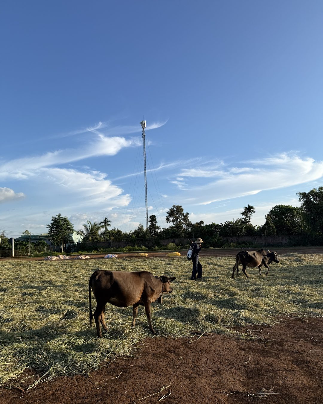
With only half a day, look at the distance column first. All distances are from the centre of Pleiku.
| Place | From the centre | Best for |
|---|---|---|
| Stone Mountain | about 2 km | an early start, the city in mist |
| Phan Đình Phùng Pine Hill | about 6 km | picnics, photos under the pines |
| Đồng Xanh Park | about 10 km | families with small children |
| Hundred-year-old pine row | about 12 km | combining with Biển Hồ Chè |
| Hàm Rồng Mountain | nearly 15 km | clouds, a view over the city |
| Đăk Đoa Pink Grass Hill | about 20 km | an early dry-season picnic |
| Tân Sơn Dam | 25 km | a stop on the way to Chư Đăng Ya |
| Kon Ka Kinh National Park | 50 km | a full day in the forest |
Most of these look best in the morning, so put the far ones early and the near ones in the afternoon.
Close to town: Stone Mountain and the pine hill
Staying in the centre with just one morning or afternoon? These two are nearest. Stone Mountain is for sunrise, the pine hill for a sunny afternoon.
Stone Mountain (Núi Đá)
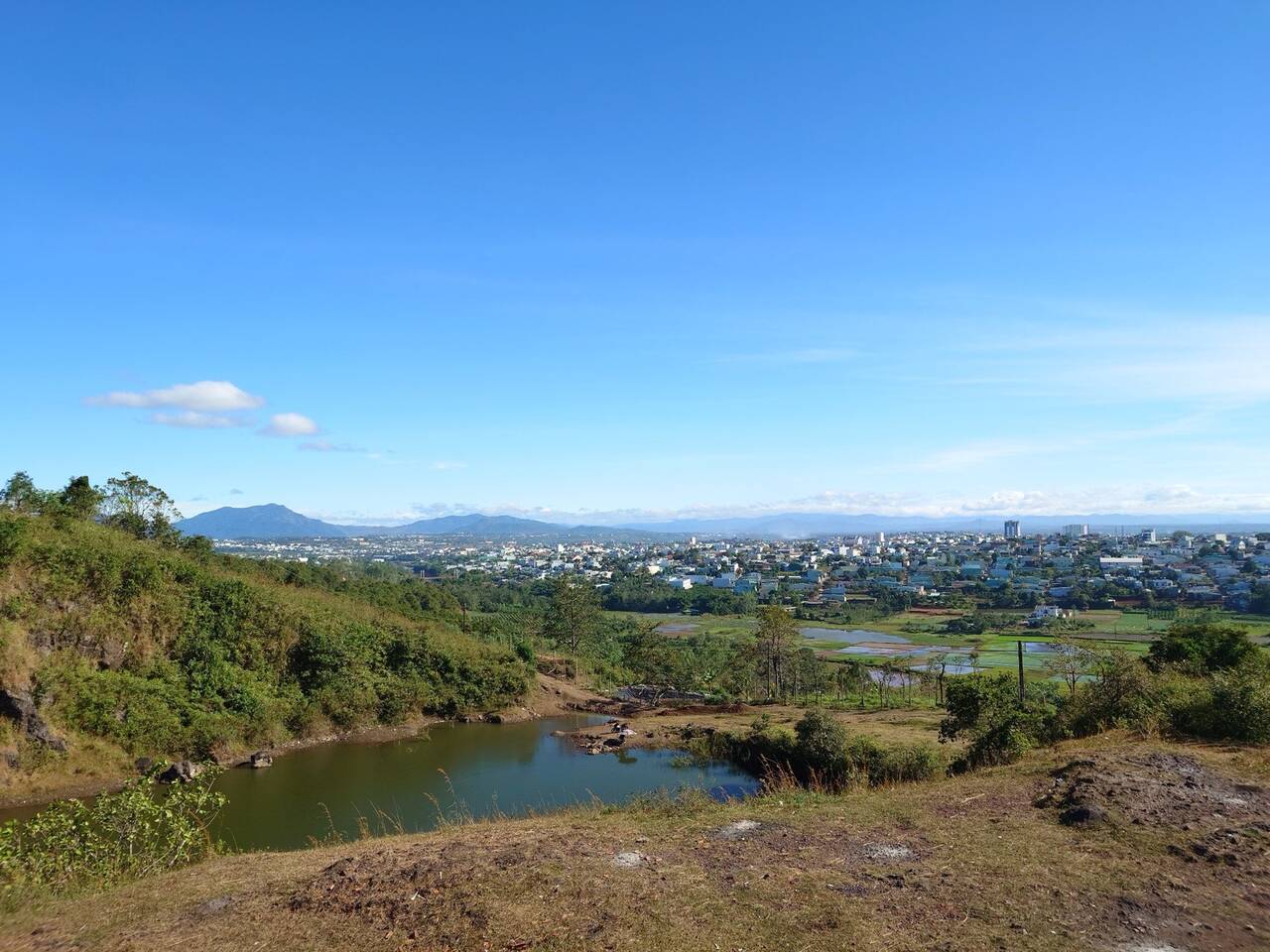
Want a view over the city without going far? Stone Mountain is opposite the entrance to the old city cemetery, and at dawn you see the whole town sunk in mist. Climb up to the rocks, wait for the sun and photograph the city in the mist. Clouds are best between 5 and 7 am, thickest the morning after two or three sunny days with rain at night, from September to November; wake after 7 am and the good window has passed.
Phan Đình Phùng Pine Hill (Đồi thông Phan Đình Phùng)
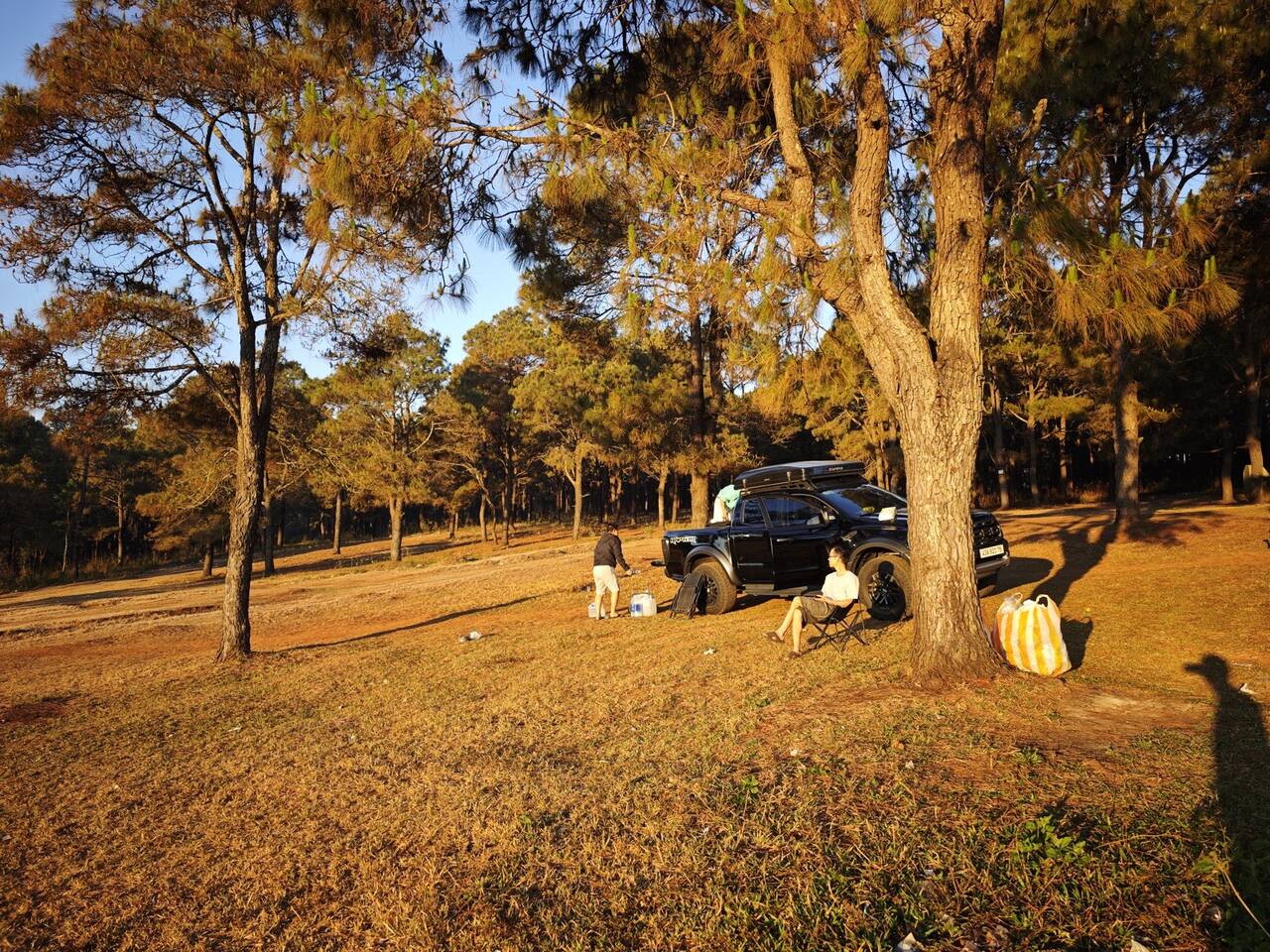
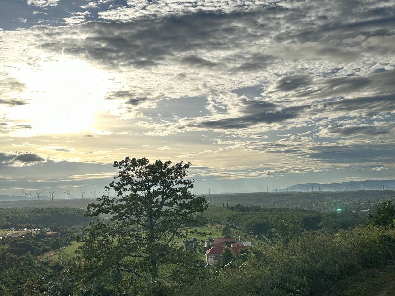
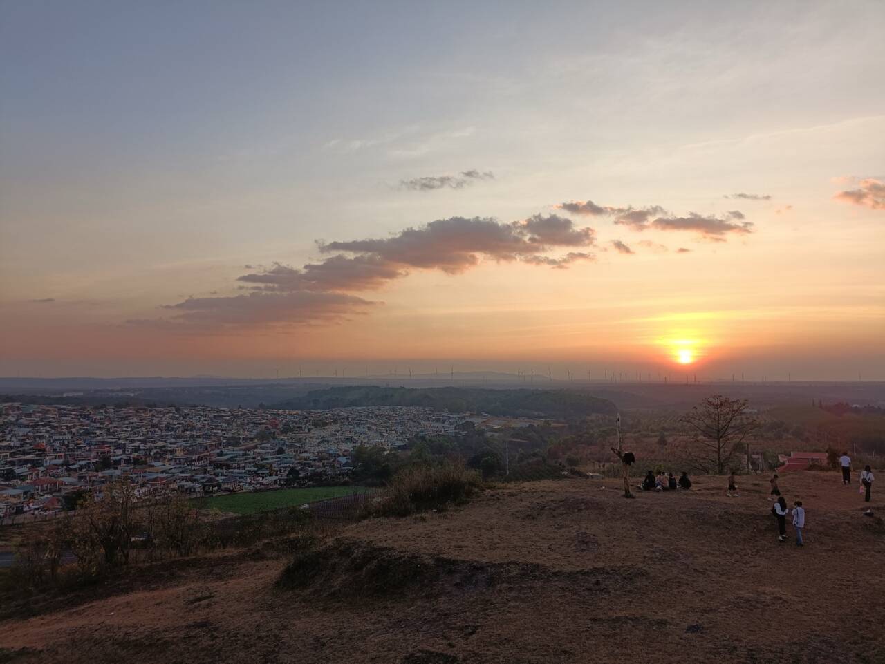
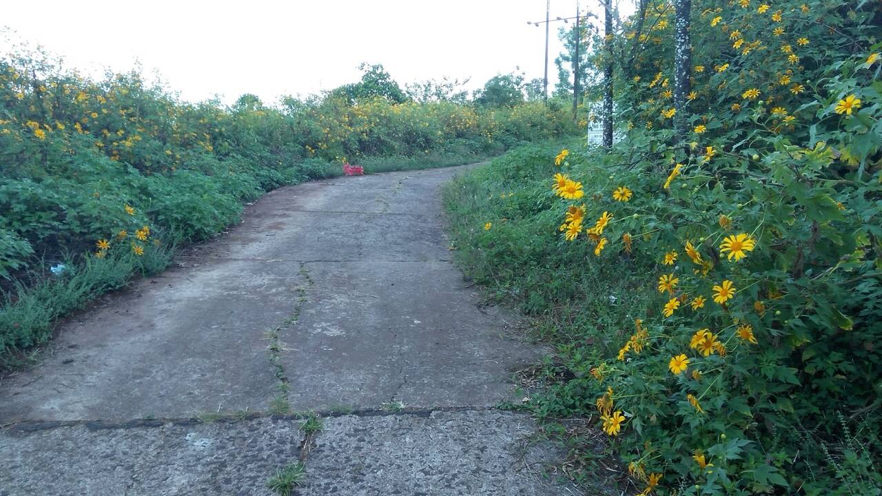
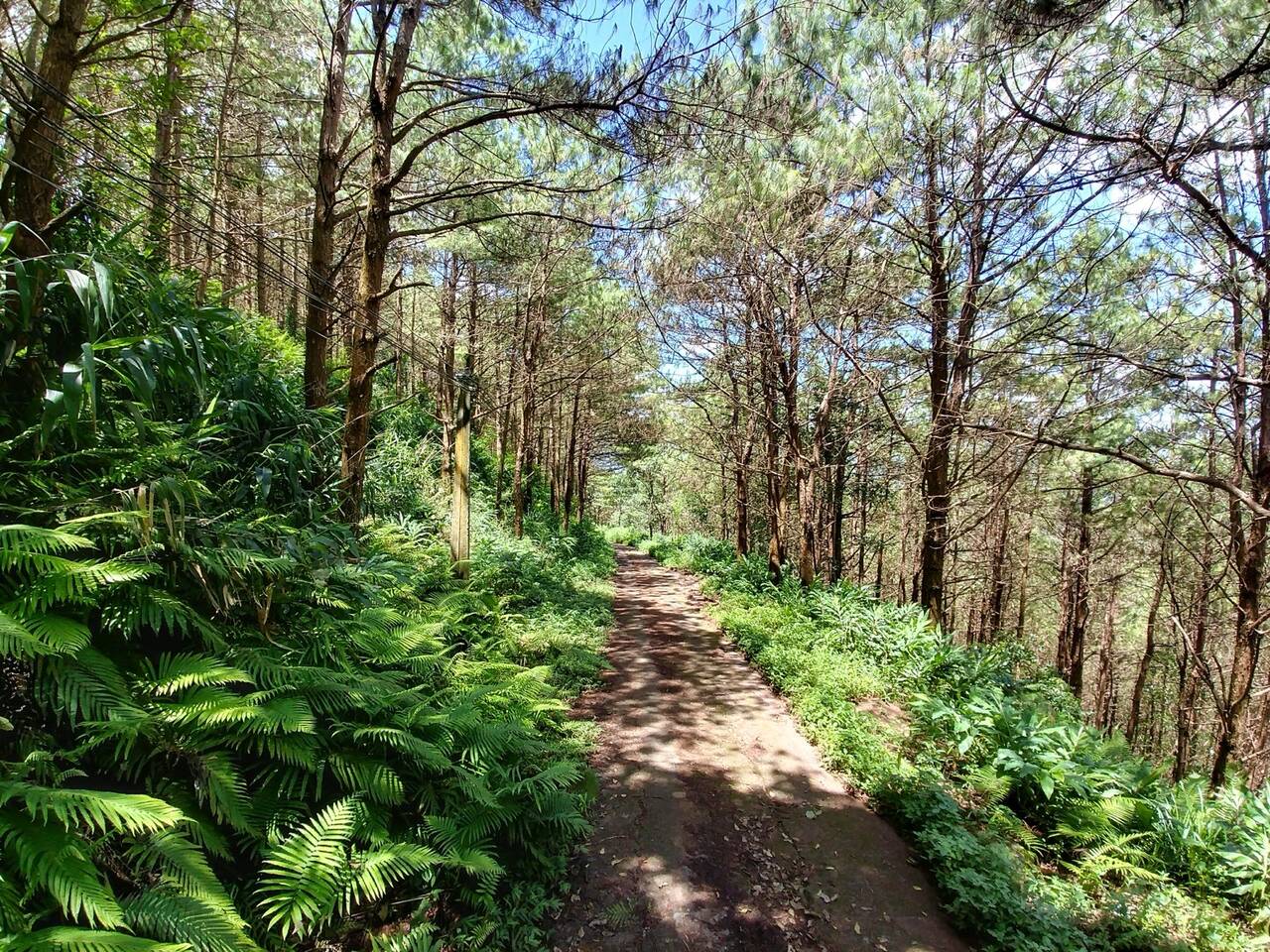
For a picnic close to town, Phan Đình Phùng Pine Hill is the easy choice. It has been compared to a small version of the Đà Lạt pine forest on the Gia Lai plateau. Go late in the afternoon, when the sun slants through the pines and the photos come out warmest. Spread a mat or camp under the trees. Weekends get crowded and groups leave rubbish around the hill, so come on a weekday if you can, and take your own rubbish down, especially batteries and bottles.
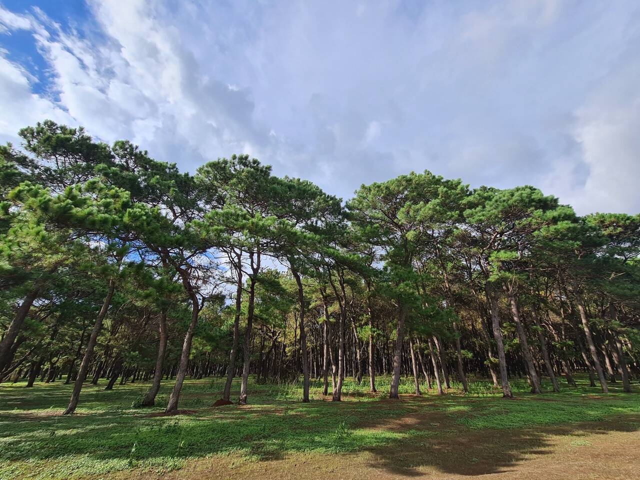
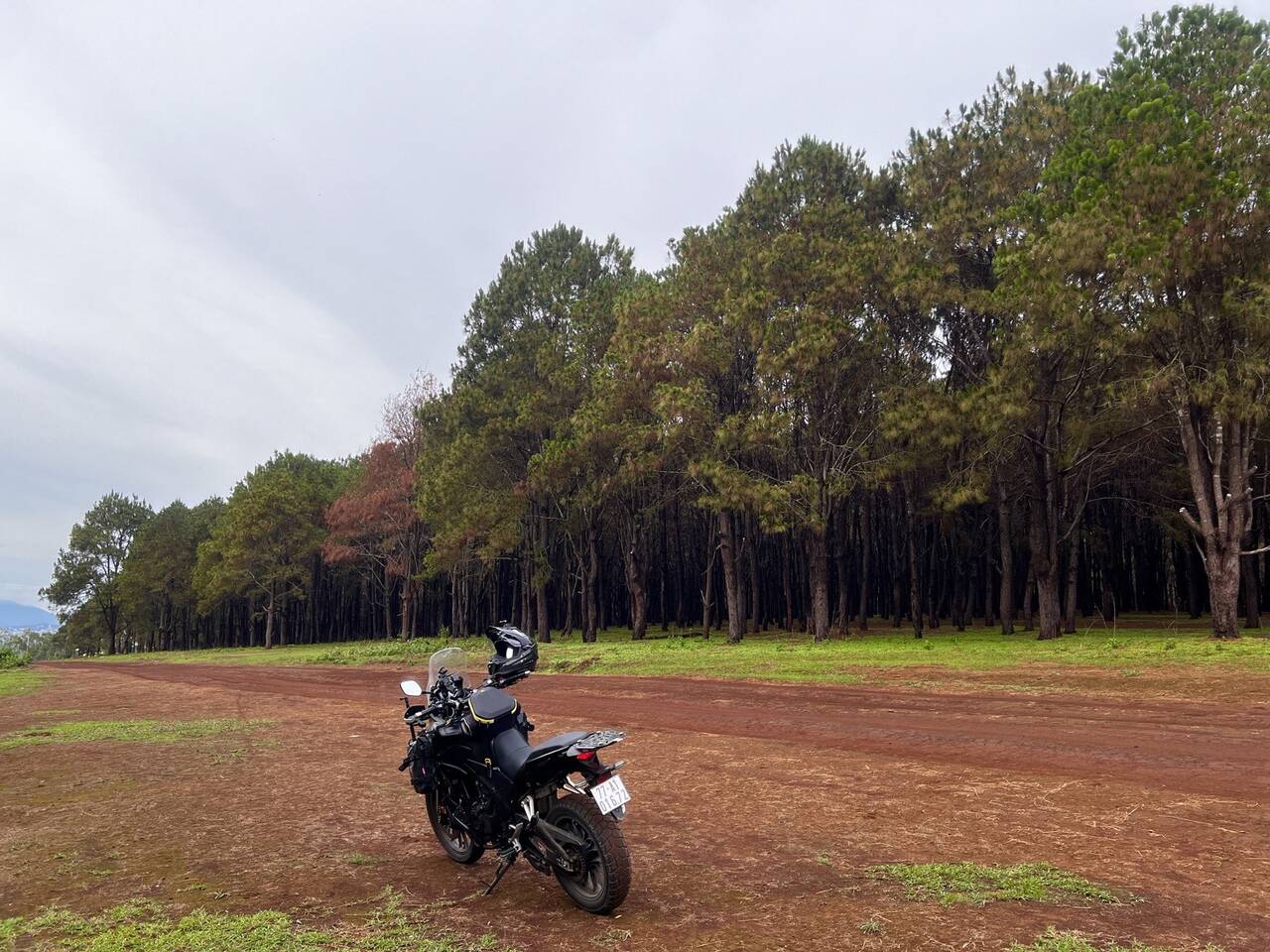
One half-day outside the centre: Hàm Rồng, Đồng Xanh and the pine row
With a ride and a free morning, these three make a relaxed loop around the city. Hàm Rồng is for early mornings, Đồng Xanh for small children.
Hàm Rồng Mountain (Núi Hàm Rồng)
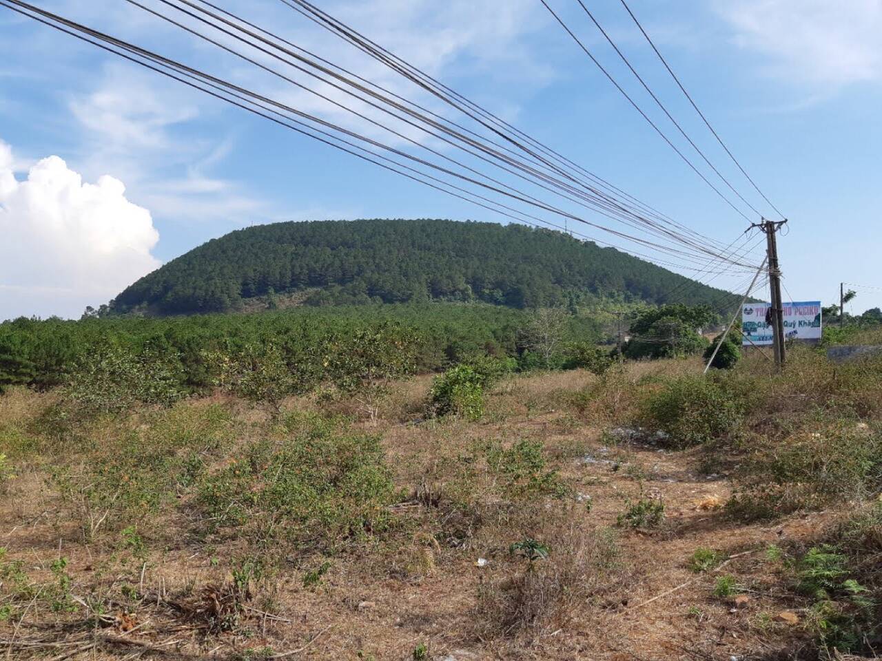
Hàm Rồng is worth the early alarm. At 1,028 m it is what Pleiku people call the “roof” of the city. The summit is nearly 15 km out: about 15 minutes by scooter, then five minutes up a steep, winding pine road, and from the top you look down on the whole city. A provincial radio and television station sits on the summit, staffed round the clock, so it is a viewpoint, not a picnic spot. Clouds are best at dawn, thickest after two or three sunny days with rain the night before, so check yesterday’s weather before you set the alarm. Day and night temperatures up there differ by 10 to 15 degrees C, so bring a light jacket, and stay home during or just after rain, when the road is slippery and misty.
Đồng Xanh Park (Công viên Đồng Xanh)
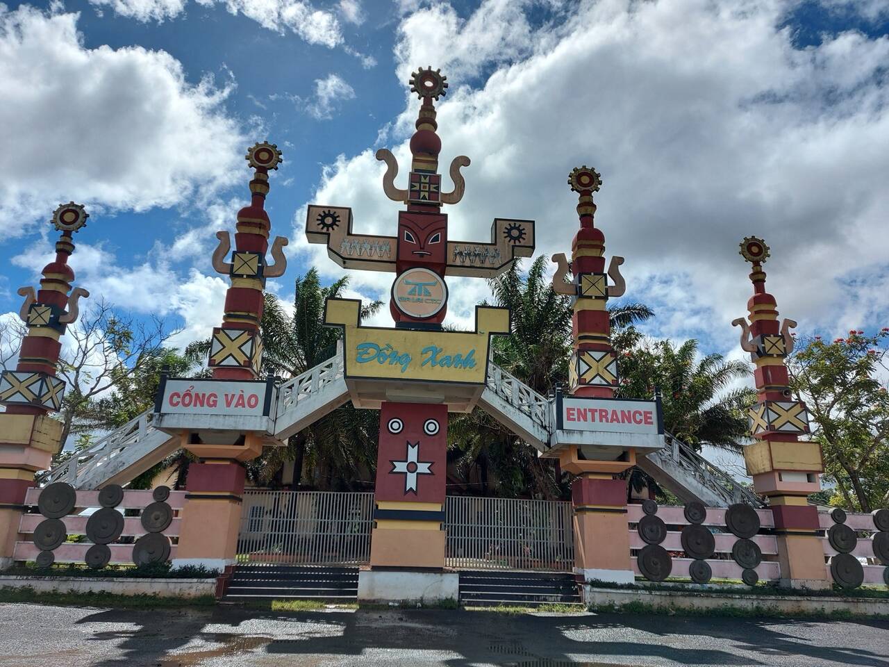
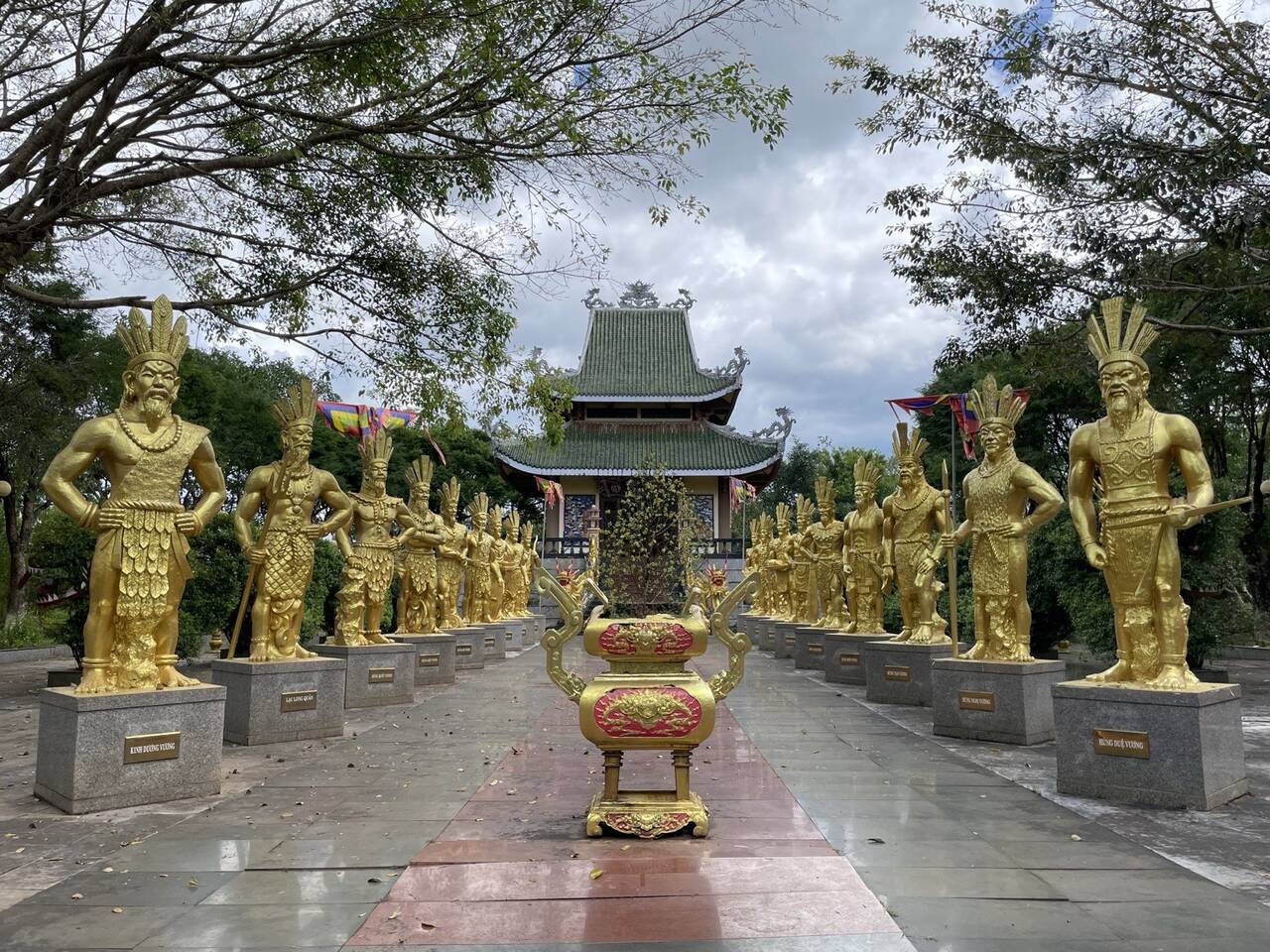
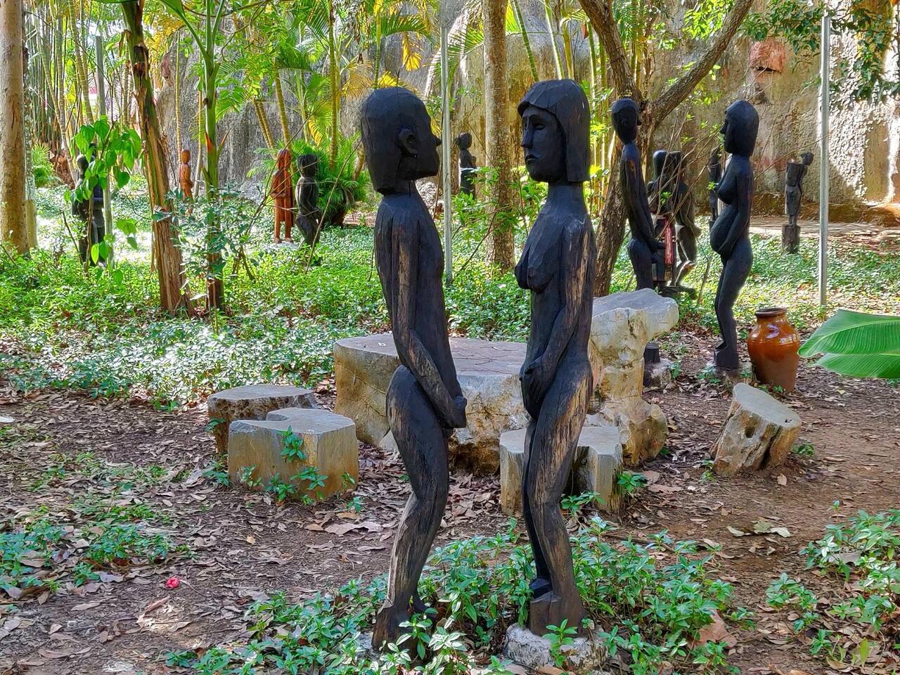
Đồng Xanh gives families and anyone short on time a quick look at highland culture. It is a culture park in An Phú ward, with rebuilt longhouses, grave statues, bronze drums and fossil-wood trees of the Central Highlands peoples, plus gong performances. The grounds are green, with gentle games for kids and older visitors alike. Since Đồng Xanh recreates cultural buildings, pick Plei Ốp village instead if you want a real village. Open daily from 7:30 am to 7:30 pm.
Hundred-year-old pine row (Hàng thông trăm tuổi)
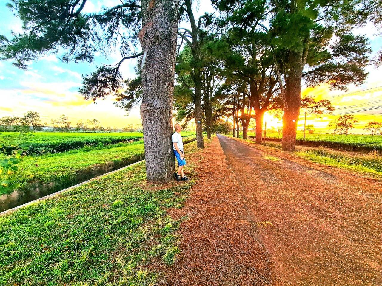
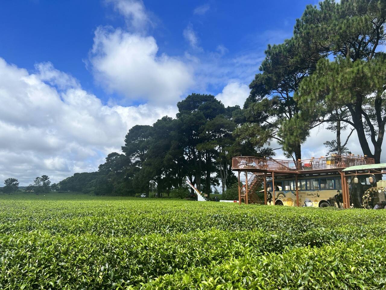
The pine row is on the road to Biển Hồ Chè: a stretch of nearly 1 km under pine branches, with trees that turned a hundred in 2025. Walk or ride slowly; it is loveliest at dawn when mist lingers and the sun comes through the needles. Locals jog here too, and along the way you will find a few mobile coffee stalls set up in decorated old cars. Both share one road, so if you are going to Biển Hồ Chè anyway, you need no separate outing.
Farther out: Tân Sơn Dam, pink grass and Kon Ka Kinh
These need a whole outing. Tân Sơn sits on the volcano route, pink grass follows the season, and Kon Ka Kinh needs a day of its own.
Tân Sơn Dam (Đập Tân Sơn)
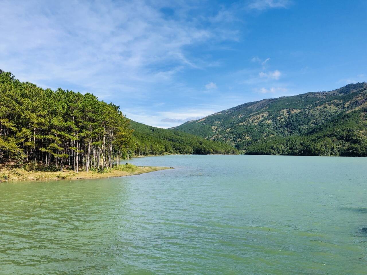
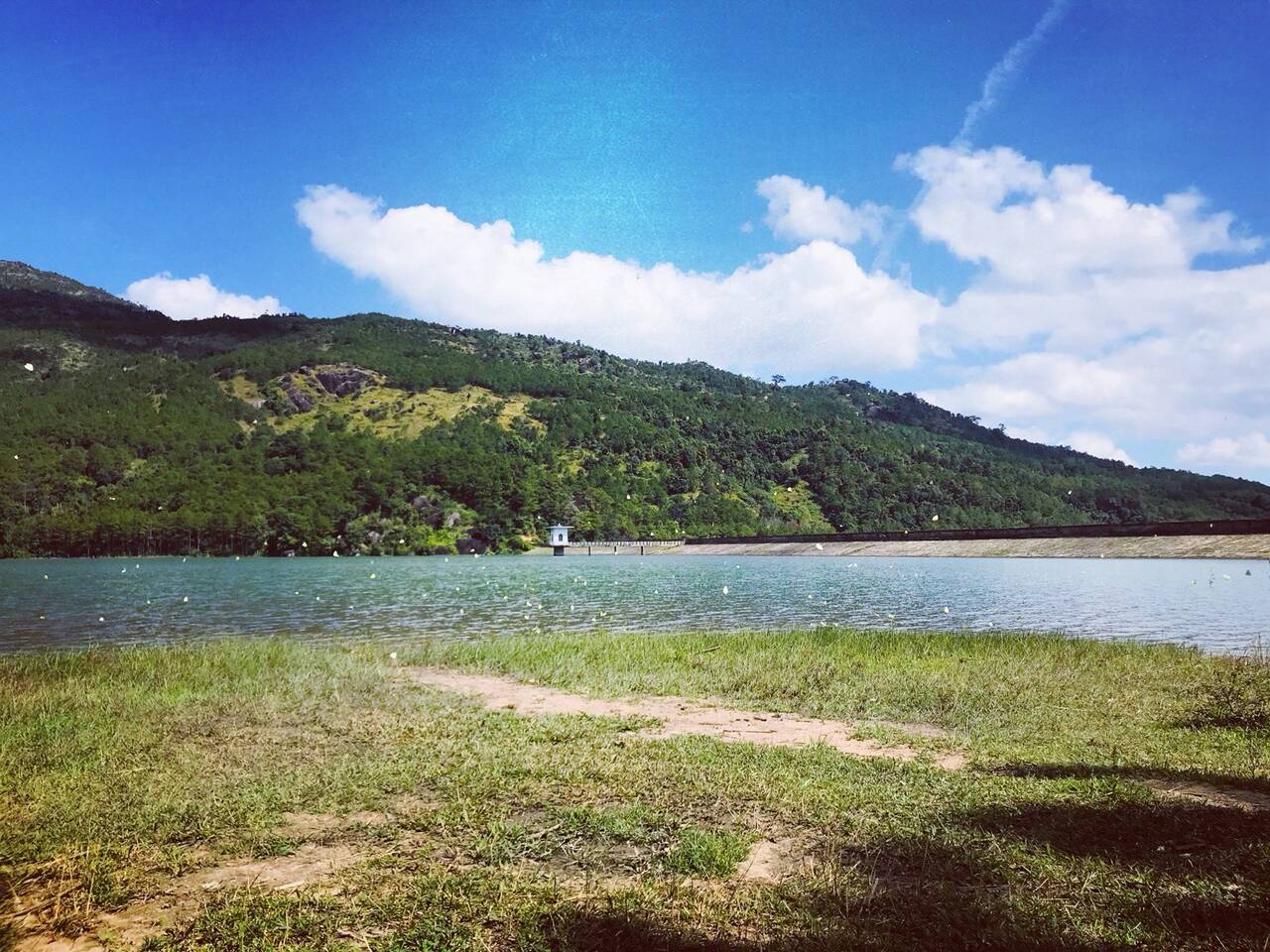
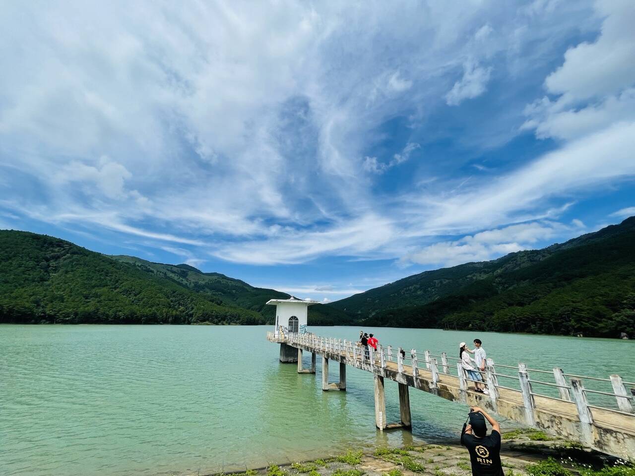
Tân Sơn Dam is a halfway stop on the road to Chư Đăng Ya. The scenery is calm and pretty, and it draws young people who like taking photos. Stop for pictures of the water, then carry on; the volcano is in our Chư Đăng Ya volcano guide. If you are not going that way, the dam is a long detour.
Đăk Đoa Pink Grass Hill (Đồi cỏ hồng)
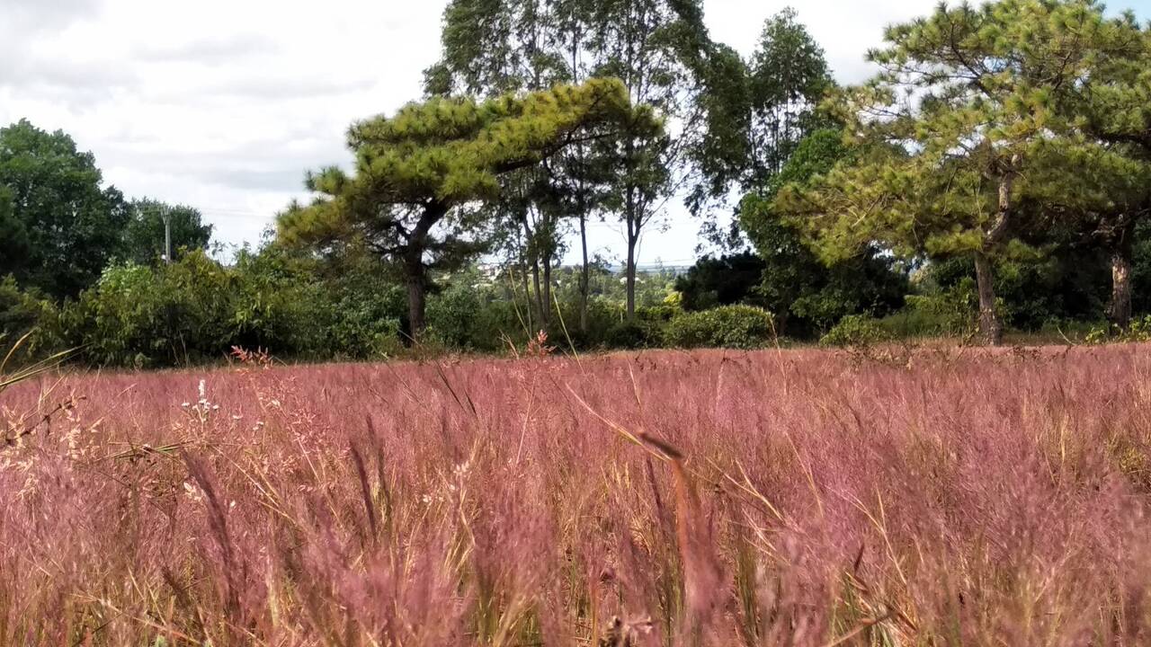
The pink grass hill in Đăk Đoa district (old name) is a picnic spot. The grass appears at the start of the dry season, when the rain stops across the plateau. The dry season in Gia Lai runs from November to April, and that is when families come to picnic and camp. Any other time, the grass is not there, so go elsewhere.
Kon Ka Kinh National Park (Vườn quốc gia Kon Ka Kinh)
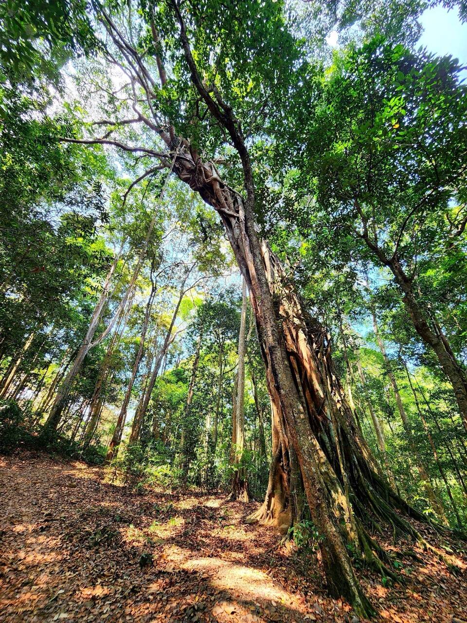
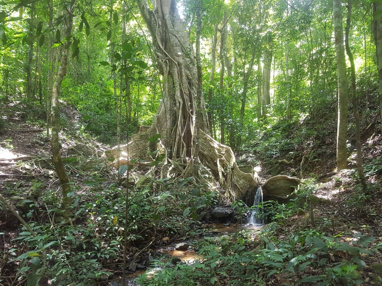
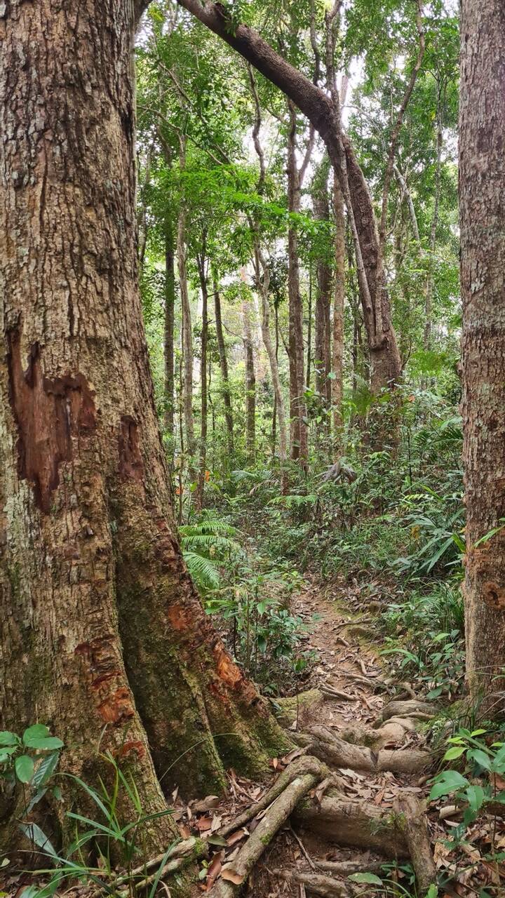
Kon Ka Kinh is for forest walks and a full free day. The park is in the north-east of Gia Lai, 50 km from Pleiku, recognised as an ASEAN Heritage Park, and its highest peak reaches 1,748 m. You can walk through primary forest and see banyan trees about 500 years old. The best season is the dry season, November to April. With only half a day, pick something nearer; the drive alone eats most of it.
Places with their own guides
The better-known sights have their own pages: Biển Hồ Lake and Biển Hồ Chè to the north, Chư Đăng Ya volcano for a longer day, Minh Thành Pagoda, Plei Ốp village and Great Unity Square (Đại Đoàn Kết) in town, and Phú Cường waterfall and the Pleiku prison.
Putting together a two-day weekend
For exactly two days, we recommend far spots in the morning and near ones in the afternoon: Saturday at Hàm Rồng between 5 and 7 am, lunch, then the pine hill; Sunday at Đồng Xanh with small children, or a full day at Kon Ka Kinh if you prefer forest.
The rainy season runs from May to October, so in those months stick to places near town and avoid steep, slippery roads; from November to April it is dry and forest tracks are easier. Plans for three days are in our Pleiku itinerary, and if you ride yourself, read the scooter rental guide first, then browse the full things to do section.
Questions
Where can I go near the centre of Pleiku at the weekend?
The closest is Stone Mountain at about 2 km, then Phan Đình Phùng Pine Hill at about 6 km and Đồng Xanh Park at about 10 km. All three fit in half a day, so you can pair two a day without rushing.
When and where do I watch clouds around Pleiku?
The best season is September to November, and the clouds are at their best between 5 and 7 am. They tend to be thickest the morning after two or three sunny days with rain at night. Stone Mountain and Hàm Rồng are the two high points close to town.
How far is Hàm Rồng Mountain and how long does it take?
The summit is nearly 15 km from the centre: about 15 minutes by scooter, then five more minutes uphill under the pines. In the rainy season the road is slippery and hard going.
How far is Kon Ka Kinh National Park from Pleiku?
50 km. Count on a full day for the round trip.
What time does Đồng Xanh Park open?
Daily from 7:30 am to 7:30 pm, in An Phú ward. Phone ahead if you are going on a public holiday.
Read next
- Pleiku in 1, 2 or 3 daysThings to do
- Biển Hồ tea hills: pines, pagoda and how to get thereThings to do
- Plei Ốp village: a Jrai village inside PleikuThings to do
- Pleiku Adventures Homestay and Pleiku BalconyThings to do
Sources
(8)
- Nhóm bạn trẻ tình nguyện nhặt rác giải cứu Đồi thông Phan Đình Phùng
- Gia Lai có gì chơi? 20 điểm đến hút hồn giữa phố núi Pleiku
- Canh sóng trên đỉnh Hàm Rồng
- Kinh nghiệm du lịch Gia Lai 2023 từ A-Z
- Mùa săn mây
- Công viên Đồng Xanh (dữ liệu địa điểm Google Maps, đọc 25/10/2026)
- Hàng thông trăm tuổi: Thanh âm một đời cây
- Kỳ thú Kon Ka Kinh - Nóc nhà của Gia Lai
Photos
(23)
Sơn Đỗ Duy · VIET THANH DUONG · Lyric Kara Moon · Duy Lâm · Dzoi's Notebook · Minh Luong · Tuyen Phan · KANG TA · Đỗ Đình Thi Ròm Photography · Tho Le · Kritik Krieger · Nhi Vu thi · Tân Quý · NGUYEN DINH VIEN · Photo Phạm Quý · Mai Trang · Đạt Nguyễn · Bình Công · Toi Nguyen · eddy sobieraj · Nguyen Hong Thien · Xin chào Pleiku editors · Phung Trung
Spotted an error? Send a correction · How we choose sources